Auckland Trains Guide: Lines, Fares & Stations (2026)
Auckland trains made simple: the four rail lines, AT HOP card and fares, Britomart, the 2026 City Rail Link and the best train rides for sightseeing.
This article contains advertising. Our booking links are routed through a partner that adds commission tracking automatically, so if you book through one we earn a commission from the provider, at no extra cost to you. It never affects what we recommend. Affiliate disclosure
If you’re used to the metros of London, Tokyo or New York, Auckland’s trains will feel small at first. Four lines, one main hub, and a network that until recently dead-ended in a downtown tunnel. But here’s the thing: for a visitor, the trains are quietly one of the best-value ways to move around this city. They’re clean, they’re fully electric, they beat the traffic on the motorway most afternoons, and a single tap of a card gets you from the waterfront to a volcano summit or the country’s biggest shopping mall. I’ve ridden all four lines, and this is the honest, practical rundown I wish someone had handed me. Our cycling in Auckland guide covers this in more depth.
One caveat up front, and it’s a big one for 2026: the City Rail Link is opening this year, and it changes how the whole network runs. I’ll cover what that means below, but the short version is that fares, timetables and even which stations exist are in a state of flux right now. Always confirm the live details on AT.govt.nz before you travel.
The short answer
Auckland has four electric train lines (Southern, Eastern, Western and Onehunga) all run by Auckland Transport and centred on Britomart station downtown. You pay with an AT HOP card or a contactless bank card, tapping on and off at the gates. Fares run from a couple of dollars for a short hop to around NZ$7 for the longest trips, and the City Rail Link opens in 2026 with two new central stations.
Auckland trains at a glance
| Detail | What to know |
|---|---|
| Operator | Auckland Transport (AT) |
| Lines | Four: Southern, Eastern, Western, Onehunga |
| Main hub | Britomart / Waitematā station, downtown |
| Trains | Fully electric across the passenger network |
| Typical hours | Roughly 5am to around midnight; reduced on Sundays (check AT.govt.nz) |
| Frequency | Around every 10 minutes at peak, 20 minutes or so off-peak |
| How to pay | AT HOP card, contactless Visa/Mastercard, Apple Pay, Google Pay |
| Fares | Zone-based; roughly NZ$2 to NZ$7 per trip (verify current pricing) |
| Fare cap | Daily cap on contactless; weekly cap on HOP (see fares section) |
| Big change for 2026 | City Rail Link opening, adding two central stations |
If you only remember one thing from this table, make it the payment line. Get sorted on how you’re tapping before your first trip and the rest falls into place.
The four train lines, and what they’re actually good for
Every line starts or passes through Britomart, so you rarely have to think too hard about direction. Here’s how I’d describe each one to a friend visiting for the first time.
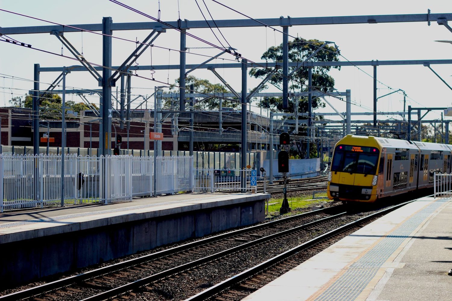
Southern Line
This is the workhorse. It runs from Britomart down through Newmarket and the inner-southern suburbs, out to South Auckland and, at its far end, Pukekohe. For a visitor, the useful bit is the top of the line: Newmarket for shopping, Greenlane for Cornwall Park and One Tree Hill, Ellerslie if you’re headed to the racecourse. Ride the whole thing to Pukekohe and you’ll get a genuine cross-section of the city, from apartment towers to market gardens.
Eastern Line
The Eastern Line swings out along the waterfront and inner harbour before turning south to Manukau. It’s the one I take for Sylvia Park, which is New Zealand’s largest mall and has its own station right inside it. Panmure is a handy interchange, and the run beside the water in the first few minutes out of Britomart is genuinely nice, so grab a window seat on the harbour side.
Western Line
The Western Line loops the long way round through Newmarket before heading out to the inner-west and finishing at Swanson, on the doorstep of the Waitākere Ranges. This is the sightseer’s line. Grafton drops you near the Auckland Museum and the Domain, Mt Eden puts you a walk from the volcano summit, Kingsland is your stop for Eden Park on match days, and Baldwin Ave and Morningside are handy for the inner-west café strips. Historically it’s been the slowest line because of that Newmarket detour, but the City Rail Link is about to fix exactly that (more below).
Onehunga Line
The smallest and least-used of the four, running from Britomart down to Onehunga via Newmarket and Penrose. Trains are less frequent here, so check the timetable rather than just turning up. It’s useful if you’re headed to Onehunga’s waterfront or want a quiet ride, but for most visitors it’s the line you’ll use least.
Britomart: the station everything runs through
Britomart (officially Waitematā, though almost nobody calls it that) sits underground at the bottom of the city, in a beautifully restored heritage building. All four lines currently terminate here, which means whatever you’re doing, you’ll pass through it. It’s the busiest station in the country by a wide margin.
What makes it handy as a base: it’s a five-minute walk from the cruise terminal and the Viaduct, it connects straight into the Commercial Bay shopping centre and the downtown ferry terminal, and the Britomart precinct right above it is one of the nicer pockets of the CBD for a coffee or a wander. There are ticket machines, HOP top-up points, a staffed customer service desk, and lifts to every platform. If you’re arriving off a cruise ship or flying in and staying downtown, this is your natural jumping-off point for the whole rail network. For the wider picture on moving around the city, our Getting Around Auckland: The Complete 2026 Transport Guide ties the trains together with everything else. If you want more on that side of things, see our parking in Auckland guide.
The City Rail Link: the big 2026 change
Here’s the story that’s reshaping Auckland’s rail network as I write this. The City Rail Link, or CRL, is a 3.5 km underground tunnel running under the central city, and it’s the biggest transport project the country has ever built. It’s due to open across 2026, and I want to be upfront that the exact opening date has moved before, so treat any specific day you see quoted as provisional and check AT.govt.nz for the current word.
Two new underground stations come with it. There’s Te Waihorotiu, under Aotea Square in the middle of the CBD near the Civic and the art gallery, which is expected to become one of the busiest stations in the country. And there’s Karanga-a-Hape on Karangahape Road, the city’s creative and nightlife strip, with entrances around Mercury Lane and Beresford Square. The existing Mt Eden station is also being rebuilt as a junction.
Why should you care as a visitor? Because it flips the network from a dead-end into a proper loop. Right now, trains run in, stop at Britomart, and run back out. Once the CRL is live, trains run through the city instead of terminating, which roughly doubles capacity and cuts journey times. The Western Line in particular stops having to reverse at Newmarket, so you’ll get faster, more direct trains into the central city. Practically, that means new station names on the maps, some timetable changes as everything beds in, and probably a few teething issues in the first months. Patience and a quick check of the app will save you a lot of confusion during the transition.
How to pay: HOP cards, contactless and fares
This is where a lot of visitors overthink it, so let me simplify. You have two good options, and they now cost the same amount per trip.
The AT HOP card
The AT HOP card is the local smartcard. It costs a few dollars for the card itself, then you load credit onto it, and it works across trains, buses and ferries. You can buy one at Britomart, at the airport, and at plenty of convenience stores and supermarkets around town. Tap it on the gates when you enter, tap off when you leave. If you’re here for several days and plan to use public transport a lot, or you’re travelling with kids, the HOP card is the one I’d get, partly because it unlocks a weekly fare cap and child discounts.
Contactless bank cards and phones
Since late 2024, you can also just tap a contactless Visa or Mastercard, or Apple Pay or Google Pay, at the gates and pay the same fare as a HOP card user. For a short visit where you don’t want to bother buying and loading a physical card, this is brilliant. Same tap-on, tap-off routine. The one thing to know is that the fare caps work slightly differently depending on which you use, so if you’re a heavy user, read the next bit.
Fares and caps
Auckland uses a zone-based system with nine zones, and you pay for how many zones you cross rather than how far in kilometres. A single trip is capped at four zones, so even a very long journey won’t cost more than the four-zone price. As a rough guide, a one-zone hop is a couple of dollars and the longest capped trip is around NZ$7, but fares were adjusted on 1 February 2026 and they change periodically, so please confirm the current numbers on AT.govt.nz rather than budgeting off my ballpark.
On the caps: contactless payments get a daily cap (spend up to it in a day and further travel that day is free), while HOP cards get a weekly cap running Monday to Sunday. If you’re doing a lot of trips in a single day, contactless may suit; if you’re spreading travel across a whole week, HOP’s weekly cap is the friendlier deal. Kids do particularly well on a registered HOP card, with discounted fares and free weekend travel, which is another reason families should grab the physical card. Our dedicated Auckland Public Transport & AT HOP Card: A Tourist’s Guide (2026) goes deeper on the HOP card mechanics if you want the full detail.
The best train rides for sightseeing
The trains aren’t a scenic railway, let’s be clear, but several trips double as an easy way to reach a genuine Auckland highlight. These are the ones I actually use.
Britomart to Mt Eden
A short ride on the Western Line drops you within a walk of Maungawhau / Mt Eden, the volcanic cone with the best free 360-degree view of the city. It’s my go-to for a first afternoon: train up, walk the crater rim, look out over the isthmus and both harbours, then head back down to the village for a coffee. If you want the full rundown, see our Mt Eden Auckland: Maungawhau Summit Walk Guide (2026).
Britomart to Grafton for the Museum
Grafton on the Western Line leaves you a walk from the Auckland War Memorial Museum and the parklands of the Domain. It’s an easy way to combine the city’s best museum with a stroll through its oldest park.
Britomart to Kingsland on match days
If you’ve timed your visit with a rugby test, a concert or a cricket international at Eden Park, the Western Line to Kingsland is the smart move. AT usually runs extra services on event days, and skipping the parking chaos around the stadium is worth it on its own.
Britomart to Sylvia Park
Not glamorous, but genuinely useful. The Eastern Line to Sylvia Park delivers you straight into the country’s biggest mall for a rainy afternoon or some serious shopping, then whisks you back to town without a car.
Britomart to Swanson
Ride the Western Line to the end and you’re on the edge of the Waitākere Ranges, the bush-covered hills that back the wild west-coast beaches. You’ll usually need onward transport to reach the coast itself, which is where renting a car in Auckland earns its keep, but it’s a proper change of scenery for the price of a train fare.
Combining trains with buses and ferries
Auckland’s trains cover a lot, but they don’t reach everywhere, and some of the best spots need a train-plus-something combination. The good news is that transfers within about 30 minutes of tapping off count toward the same journey, so you’re not paying twice for a single trip. A few pairings worth knowing:
- For Auckland Zoo and MOTAT, take the Western Line to Mt Albert or Kingsland and connect by bus or a short walk.
- For the North Shore and Devonport, the trains don’t cross the harbour, so you’ll switch to a ferry from downtown or a bus. Our Auckland Ferries: Routes & Schedules (2026 Guide) covers those crossings.
- For flexible, everywhere-else travel, buses fill the gaps the rail map leaves. The Auckland Buses for Tourists: Best Routes & Tips (2026) guide pairs neatly with this one.
One route people always ask about is the airport. There’s no direct train to Auckland Airport, so that trip is a bus, shuttle or ride-share job. We break down every option in our Auckland Airport to CBD: All Transfer Options (2026 Guide).
Practical tips from someone who’s ridden the lines
- Download the AT Mobile app on day one. Live departure times and a trip planner make the whole network far less mysterious, especially during the CRL transition.
- Always tap off. Forgetting to tap off can land you with a default fare, and it’s an easy habit to slip on when you’re distracted.
- Check Sunday and late-night timetables before you rely on them. Frequencies drop off, particularly on the Onehunga Line, and the last trains are earlier than you might expect.
- Trains don’t carry wifi, but Britomart does, and mobile coverage across the network is reliable, so bring data if you’re navigating on your phone.
- Bikes travel free at off-peak times, with a few spaces per carriage, so it’s first in, first served.
- Sit tight through the Newmarket reversal on the Western Line for now. It feels odd when the train appears to change direction, but it’s normal, at least until the CRL removes the need for it.
Is it safe, and what’s the etiquette?
In my experience the trains feel safe day and night, and staff and transport officers are a regular presence. As anywhere, I’d use a bit more awareness late at night and sit in a busier carriage if you’re travelling alone after the evening peak. Locals tend to keep phone calls quiet, give up seats for older passengers and those who need them, and keep hot food off the trains. Follow that and you’ll fit right in.
Stations worth knowing beyond the hub
Britomart gets all the attention, but a handful of other stations are the ones you’ll actually change at or aim for. Newmarket is the second-busiest and the network’s main interchange, sitting right under a shopping district with a supermarket, food court and the Westfield mall a moment’s walk away, so it’s a painless place to break a journey. Sylvia Park on the Eastern Line is built into the mall itself, which is as convenient as it sounds on a wet day. Manukau, at the end of the Eastern Line, is South Auckland’s hub with its own mall and a big bus interchange. And Kingsland, tiny as it is, becomes one of the busiest stations in the country for a few hours whenever Eden Park has a full house. Most of the larger stations have ticket machines, HOP top-up points and step-free access, while some of the smaller suburban stops are more basic, so if accessibility matters to you, check the station detail on AT.govt.nz before you set out.
A quick word on the network’s history, because it explains why the trains feel the way they do. Auckland ran its first passenger trains in the 1870s, but for much of the twentieth century the system was underfunded and stuck with diesel trains on tired tracks. The rebuilt Britomart opened in 2003, electrification arrived across the mid-2010s, and the City Rail Link is the next leap. That’s why the trains you ride today are modern and quiet even though the network itself is old, and it’s why locals are genuinely excited about the CRL: it’s the piece that finally makes the whole thing hang together.
A train-only day in Auckland
To show how far the rails alone can take you, here’s a loose day I’ve done more than once, all on the train with a single HOP tap paying for the transfers. Start downtown with breakfast in the Britomart precinct. Take the Western Line up to Mt Eden mid-morning, walk the volcano’s crater rim for the big view, then wander down into Mt Eden village for a coffee. Hop back on toward Grafton for the Auckland Museum and a stroll through the Domain, or carry on out to Kingsland if there’s an event on. In the afternoon, ride back through Newmarket for some shopping, then return to the city for dinner. Four short trips like that stay comfortably under the daily spend where free travel kicks in, and you’ll have seen a volcano, a museum, a shopping district and the waterfront without touching a car. That, to me, is the quiet magic of Auckland’s small-but-useful rail network. If you’d rather build the day around neighbourhoods, our Auckland Neighborhoods Guide 2026: Where to Stay, Eat & Explore pairs well with the map above.
Frequently Asked Questions
How many train lines does Auckland have?
Four: the Southern, Eastern, Western and Onehunga lines, all operated by Auckland Transport and centred on Britomart station downtown. The City Rail Link opening in 2026 adds two new central stations and changes how the lines run through the city.
When does the City Rail Link open?
It’s due to open across 2026, but the exact date has shifted before, so treat any specific day as provisional. It adds two underground stations, Te Waihorotiu at Aotea and Karanga-a-Hape on Karangahape Road. Check AT.govt.nz for the latest opening information.
How much does an Auckland train ticket cost?
Fares are zone-based, roughly from a couple of dollars for a short hop to around NZ$7 for the longest trips, with a single fare capped at four zones. Prices were adjusted on 1 February 2026, so confirm the current fare on AT.govt.nz before you travel.
Do I need an AT HOP card, or can I just tap my bank card?
Either works, and since late 2024 they cost the same per trip. Contactless bank cards and phones are easiest for a short visit; a HOP card suits longer stays and families because of its weekly cap and child discounts.
Is there a train to Auckland Airport?
No. There’s no direct rail link to the airport, so that trip means a bus, shuttle or ride-share. See our airport transfer guide for a full comparison of the options.
Final thoughts
Auckland’s train network is modest in size but punches above its weight for visitors: clean electric trains, one easy hub, a single tap to pay, and lines that happen to reach a volcano, the museum, the big stadium and the country’s largest mall. Pair it with the buses and ferries and you can get a long way without ever renting a car. The City Rail Link opening across 2026 only makes the case stronger, turning a dead-end commuter line into something closer to a real metro, so this is a good time to lean on the rails. Just do yourself one favour and check AT.govt.nz for live fares and timetables before each trip, because a lot is changing this year. For the bigger picture, start with our Auckland Travel Guide 2026: The Complete Visitor’s Handbook, then line up the sights with our 65 Best Things to Do in Auckland (2026): An Insider’s Guide.
Last updated: July 2026. Written by the Auckland Tourism Guide team.
Photo credits
The three new underground stations changed what a car-free visitor can treat as convenient — K Road, Uptown and mid-Queen Street are now stops rather than walks or bus rides. Our guide to Auckland without a car builds a full three-day plan on that basis, combining the trains with the ferries and the bus network.