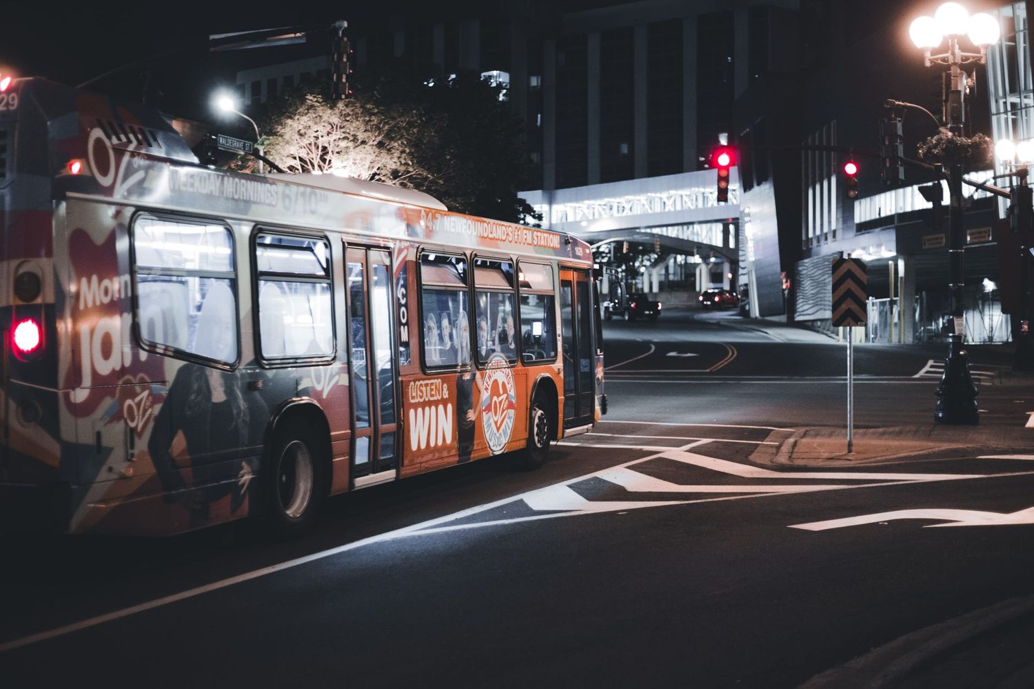
Auckland Buses for Tourists: Best Routes & Tips (2026)
How to use Auckland buses as a tourist: the best Link routes, Northern Express, airport bus, HOP card, fares and zones, and mistakes to avoid in 2026.
This article contains advertising. Our booking links are routed through a partner that adds commission tracking automatically, so if you book through one we earn a commission from the provider, at no extra cost to you. It never affects what we recommend. Affiliate disclosure
I resisted the Auckland buses for my first few visits, defaulting to walking and the occasional rideshare. That was a mistake. Once I worked out the handful of routes that actually matter to a visitor, the bus network turned into the cheapest, easiest way to reach almost every part of the city I wanted to see. You do not need to learn all 80-odd routes. You need about five, an AT HOP card, and one app.
Here is the quick answer. Auckland buses are run by Auckland Transport (AT) and paid for with an AT HOP card or contactless card, never cash. For sightseeing, the colour-coded Link loops (City Link, Inner Link, Outer Link, Tāmaki Link) plus the Northern Express and the AirportLink cover the ground most visitors care about. Fares are zone-based, with daily and weekly caps.
Auckland buses at a glance
Before the detail, here is the shape of the network in one table. Fares rose slightly on 1 February 2026, so these are current, but always confirm on the AT site before you rely on an exact figure.
| Detail | What to know |
|---|---|
| Operator | Auckland Transport (AT Metro) |
| Payment | AT HOP card or contactless (Visa, Mastercard, Apple Pay, Google Pay) |
| Cash | Not accepted on buses |
| Fare system | Zone-based across 9 zones; capped at 4 zones per journey |
| Fare caps | Daily cap for contactless; 7-day cap for HOP (Mon-Sun) |
| Best routes for visitors | Inner Link, City Link, Outer Link, Tāmaki Link, NX1, AirportLink |
| Main hub | Britomart, in the central city |
| Live times | AT Mobile app and Google Maps |
The Link buses, the ones you will actually use
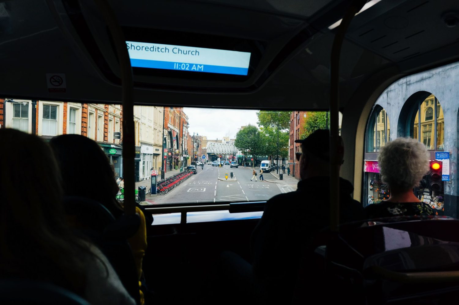
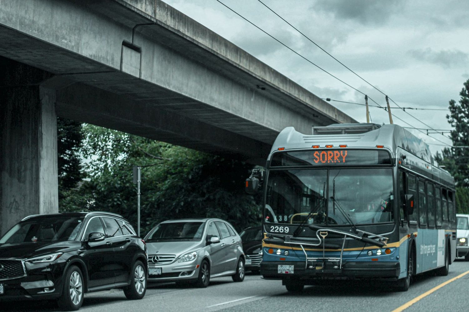
AT runs four colour-coded Link loops that circle the parts of town visitors spend the most time in. If you only remember one thing from this guide, remember the Link buses. They are frequent, easy to spot, and they connect the precincts you want without any route-planning.
City Link (red) — the Queen Street loop
The City Link runs a tight loop through the central city, roughly from Wynyard Quarter up through Britomart and Queen Street to Karangahape Road and back. It comes along every few minutes and it is the cheapest ride in town, with a low flat fare, and free with a HOP card if you are transferring from another AT service within the transfer window.
I use it as a shortcut when my legs are done, especially the pull up the hill from the waterfront to K Road. For short hops along the Queen Street spine, it is hard to beat.
Inner Link (green) — the one I recommend most
If there is a single most useful tourist bus in Auckland, this is it. The Inner Link runs a loop connecting Britomart, Parnell, Newmarket, Karangahape Road, Ponsonby, and Victoria Park, then back around. That covers the Auckland War Memorial Museum (a short walk from the Parnell stops), Newmarket shopping, the K Road creative strip, and Ponsonby’s cafes and bars, all on one bus.
- Runs: both directions around the loop, frequently through the day
- Connects: Britomart, Parnell (for the Museum), Newmarket, K Road, Ponsonby
- Best for: hitting the major inner-city precincts without a car
One tip: because it runs clockwise and anticlockwise, glance at the destination on the front of the bus so you go the short way round to where you are headed.
Outer Link (amber) — the wider circle
The Outer Link swings through a bigger loop that takes in the universities, Parnell, Newmarket, Mt Eden, and the Mt Albert area, which is your route for MOTAT and Auckland Zoo with a short walk. It is a little slower and a touch less frequent than the Inner Link, but it reaches things the inner loop does not.
- Best for: MOTAT, Auckland Zoo, Mt Eden, and the western inner suburbs
- Fare: depends on how many zones you cross
Tāmaki Link — out to Mission Bay
The Tāmaki Link runs from the central city along the waterfront on Tāmaki Drive out to St Heliers, via Mission Bay. This is the bus for a beach afternoon on the eastern bays, and it drops you close to Kelly Tarlton’s on the way.
On a warm day it is one of the nicer rides in the city, with the harbour on one side most of the way. For more on that stretch of coast, our Auckland Beaches & Outdoor Adventures: The Complete 2026 Guide covers Mission Bay and the eastern bays in detail.
Northern Express (NX1 and NX2) — the fast one
The Northern Express buses are the closest thing Auckland has to rapid transit on rubber tyres. They run on a dedicated busway separated from regular traffic, which means they keep moving when the motorway does not. If you are heading to the North Shore, this is how you do it.
- NX1: the express service up the busway toward Albany
- NX2: continues further north toward the Hibiscus Coast
- Best for: Takapuna Beach, Albany, and connecting toward Devonport
For Devonport specifically, most visitors take the ferry rather than the bus, because the harbour crossing is half the fun. The Northern Express is the better call for Takapuna and points further north. Our Auckland Ferries: Routes & Schedules (2026 Guide) lays out when the ferry wins over the bus.
AirportLink — the budget way in from the airport
The AirportLink is AT’s public bus between Auckland Airport and the central city. It is the cheapest way in, though not the quickest. The route pairs a bus with a train via Manukau, so it is a two-leg journey rather than a straight run downtown, and it takes around an hour depending on connections.
For a solo traveller or a couple travelling light and watching the budget, it is a solid option. With a pile of luggage, small kids, or a tight schedule, a rideshare or shuttle is worth the extra cost for the door-to-door speed. I weigh up every option side by side in our sibling guide, Auckland Airport to CBD: All Transfer Options (2026 Guide).
Fares, zones, and caps
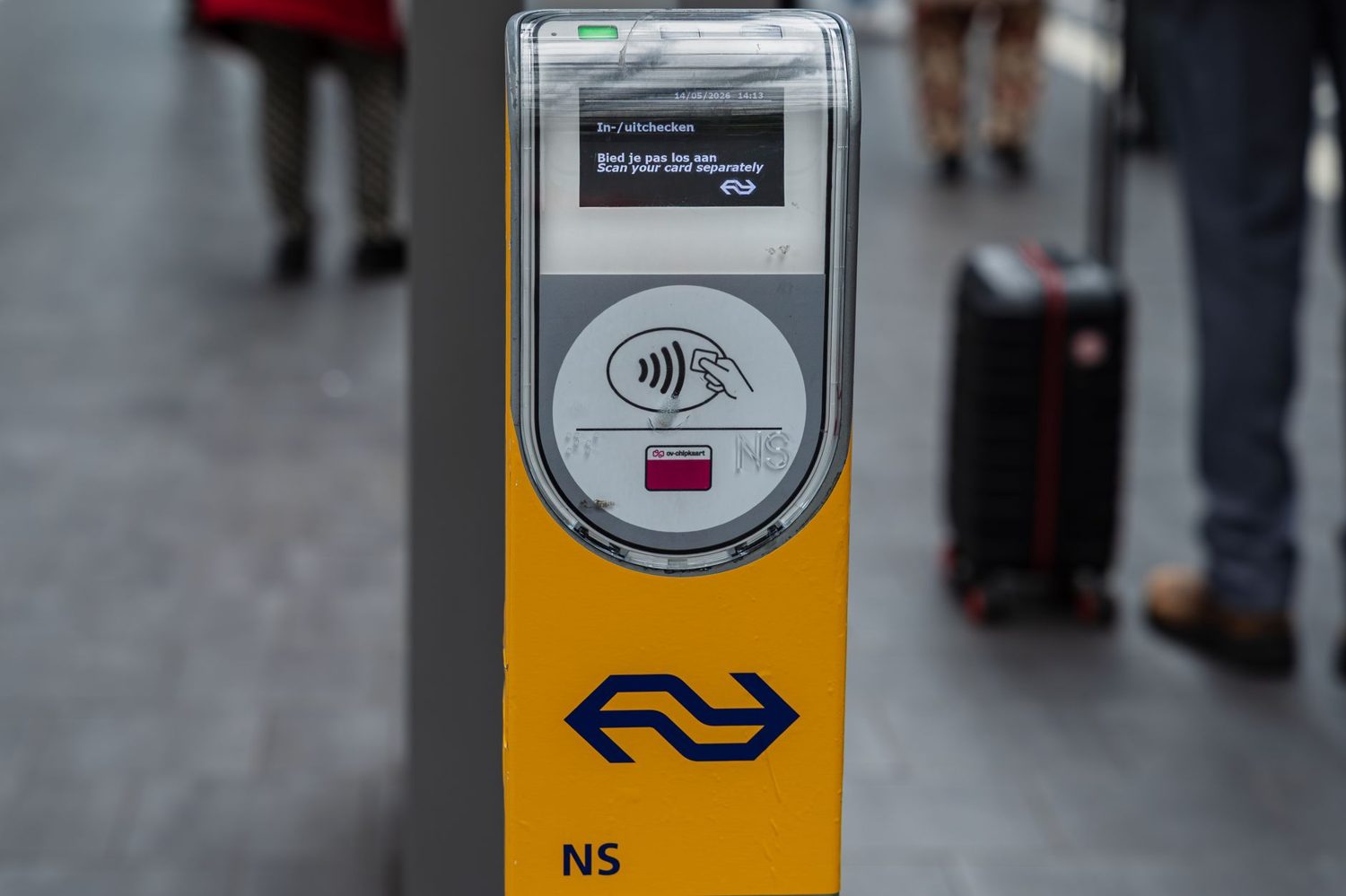
Auckland’s fares are zone-based across nine fare zones. What you pay depends on how many zones you cross, not how long you sit on the bus. The central city sits in the innermost zone, so getting around the CBD and its edges is the cheapest kind of trip.
Two things make the system forgiving. First, a single journey is capped at four zones, so even a long cross-city trip will not blow out. Second, there are fare caps: a daily cap for people paying with contactless, and a seven-day cap (Monday to Sunday) for AT HOP card users. Once you hit the cap, further travel in that window is effectively free.
A note on timing: AT fares rose by a small weighted average on 1 February 2026, adding a few cents to most bus trips. The HOP card is still the cheaper way to pay, usually beating the contactless fare on the same trip, and it is what I would buy on arrival. For the exact current numbers and any concessions, check AT.govt.nz directly, since fares get reviewed periodically.
Children and families
Kids travel cheaply here. Young children ride free with a paying adult, and school-age children get a solid discount with a registered HOP card, plus free travel on weekends and public holidays under the current rules. Because buses do not take cash, a registered child HOP card is the way to unlock those child fares on the bus. Families travelling together will find the daily and weekly caps take the sting out of a big day of sightseeing. There is more family logistics in our Auckland with Kids 2026: Complete Family Travel Guide.
The AT HOP card, and why to get one first
The AT HOP card is a reusable tap-on, tap-off smartcard, and it is the single best thing you can do for your Auckland transport. It gives you the cheaper fare on buses, trains, and ferries, and it makes transfers and the fare caps work smoothly. Buy one on day one and load some credit.
You can pick one up at AT customer service centres, train station machines, and plenty of convenience stores and service stations around the city. There is a small charge for the card itself, then you load credit on top. I would start with enough to cover a few days so you are not topping up constantly, and register the card online so your balance is protected if you lose it.
Contactless bank cards and phone wallets also work on the readers if you would rather not buy a HOP card for a short stay. Just pick one method and stick with it for a whole journey, because mixing a HOP tap-on with a contactless tap-off breaks the transfer link. The full payment rundown, including trains and ferries, is in our Auckland Public Transport & AT HOP Card: A Tourist’s Guide (2026).
How to actually ride a bus here
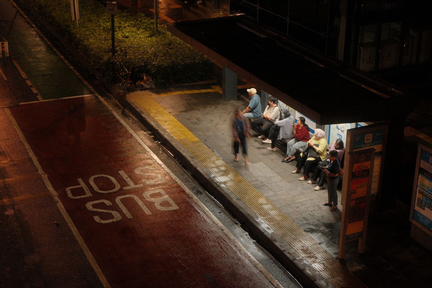
The mechanics differ a little from some cities, and a couple of them catch visitors out. Here is the whole routine.
- Flag it down. Stand at the stop and put your hand out as the bus approaches. Drivers do not stop unless someone signals or is waiting.
- Board at the front and tag on. Tap your HOP card or contactless card on the reader by the door as you get on.
- No cash. Drivers do not take cash or sell tickets, so sort your payment before you board.
- Press the button for your stop. Buses only stop on request, so hit the stop button a little before you want to get off.
- Tag off as you leave. Tap your card again on the way out. This is the big one, because forgetting to tag off charges you the maximum fare.
That last point is the mistake I see most often. Always tag off, even if it feels unnecessary. It is also a nice local habit to thank the driver on your way out; plenty of Aucklanders do.
A bus-only day around the city
To show how far the network gets you, here is a car-free day that leans mostly on the Inner Link. Adjust the timing to suit, but the shape works well.
- Morning: Inner Link from Britomart to Parnell, then walk up to the Auckland War Memorial Museum.
- Midday: wander Parnell for lunch, then hop the Inner Link on to Newmarket for a browse.
- Afternoon: Inner Link to K Road for the galleries and record shops, then on to Ponsonby for coffee.
- Evening: Inner Link back to Britomart for dinner near the water.
Done this way, you touch every major inner-city precinct without a rental car or a single rideshare, and the fare caps keep the cost down. For more on what to do at each stop, our guide to the 65 Best Things to Do in Auckland (2026): An Insider’s Guide fills in the sights, and the Auckland Neighborhoods Guide 2026: Where to Stay, Eat & Explore maps how the precincts connect.
Where to catch buses in the central city
Britomart is the main event. It is the central transport hub down by the waterfront, and it is where the Link loops, the Northern Express, the AirportLink, and a long list of suburban routes converge. If you are staying centrally, most journeys start or end here.
Beyond Britomart, the Wellesley Street bus corridor handles a lot of central and university routes, and Aotea Square is a handy central stopping point on several lines including the City Link. Ponsonby Road, Parnell Road, and K Road all have frequent Link stops spaced a few hundred metres apart. Staying near one of these makes the bus network feel effortless, which our Where to Stay in Auckland: Best Neighbourhoods & Hotels for 2026 factors into its picks.
Buses versus trains and ferries
Buses are the most flexible option with the most routes, so they are my default for inner-city and suburb-to-CBD trips. Trains are faster along their lines and shine for runs out to places like Newmarket, Mt Eden, and the southern and western suburbs. Ferries are both practical and scenic for harbour destinations like Devonport and the gulf islands. Our Auckland scenic drives guide covers this in more depth.
In practice I mix all three on a HOP card: buses for most things, a train when the line goes where I am headed, and a ferry when the water is part of the appeal. Our Auckland Trains Guide: Lines, Fares & Stations (2026) shows where the rail network beats the bus, and it is worth a look when you are planning longer hops.
The AT Mobile app and live times
Download the AT Mobile app before your first ride. It gives you live arrival times for every stop, a trip planner with real-time alerts, HOP balance checks and top-ups, and service notices when something is disrupted. It turns the whole network from guesswork into something you can time to the minute.
Google Maps also folds in AT’s data and works well for planning if you would rather stick with a familiar app. Between the two, you will always know when the next bus is coming and which one to take. For how this fits with the rest of getting around, see our pillar, the Getting Around Auckland: The Complete 2026 Transport Guide.
Hop-on hop-off tourist buses
There is a private hop-on hop-off sightseeing bus in Auckland too, the double-decker kind with recorded commentary, that loops the main attractions like the Sky Tower, the Museum, and Mission Bay. It costs more than the public buses, but it bundles a guided audio tour with the freedom to jump off wherever you like.
For a cruise-ship day or a first quick orientation, I can see the appeal. But if you have three or more days and are happy to learn the Link buses, the public network is far better value and gets you to the same places. It comes down to how much you value the commentary and the door-to-attraction convenience.
Night buses and late travel
Auckland’s bus service thins out overnight. Most routes wind down somewhere between about 11pm and midnight, with a few key corridors running later on Friday and Saturday nights. It is not a 24-hour city on the buses, so plan your last ride if you are out late.
Once the buses stop, a rideshare or taxi is your fallback. If a late night is on the cards, check the last-bus time for your route in the app before you head out, and have a plan B for getting home. For nightlife itself, our Auckland Shopping & Nightlife Guide 2026: Where to Shop & Party pairs the venues with getting-home logistics.
Common mistakes to avoid
- Forgetting to tag off. The classic. It charges you the maximum fare, so always tap out.
- Trying to pay cash. Buses do not take it. Sort a HOP card or contactless before boarding.
- Mixing payment methods on one trip. Tag on and off with the same card or wallet, or your transfer will not link.
- Not signalling the bus. Put your hand out, or the driver may sail past.
- Riding the wrong way round the loop. The Inner Link runs both directions, so check the destination on the front.
- Cutting the last bus too fine. Late services are limited, so know your final departure.
Frequently Asked Questions
Can I pay cash on Auckland buses?
No. Auckland buses do not accept cash. You pay with an AT HOP card or a contactless card or phone wallet, tapping on when you board and off when you leave. Cash is only used for buying train and ferry tickets, not on buses.
How do I get an AT HOP card?
Buy one at an AT customer service centre, a train station machine, or many convenience stores and service stations. There is a small charge for the card, then you load credit on top. Register it online so your balance is protected if the card is lost or stolen.
Which bus is best for tourists in Auckland?
The Inner Link is the one I recommend first. It loops through Britomart, Parnell, Newmarket, K Road, and Ponsonby, connecting most of the inner-city precincts, including the walk to the Auckland War Memorial Museum, on a single frequent bus.
How much do Auckland buses cost?
Fares are zone-based across nine zones, and a single journey is capped at four zones. There are also daily and weekly fare caps, after which extra travel is effectively free. Fares rose slightly on 1 February 2026, so check AT.govt.nz for the exact current figures.
What is the cheapest way from Auckland Airport to the city?
The AirportLink public bus, paired with a train via Manukau, is the cheapest option, though it takes around an hour. For speed with luggage or kids, a rideshare or shuttle is worth the extra. Our airport-to-CBD guide compares every option side by side.
Final thoughts
Auckland’s buses are genuinely visitor-friendly once you know the shortlist: the Inner Link for the inner-city precincts, the City Link for central hops, the Outer Link for the zoo and MOTAT, the Tāmaki Link for Mission Bay, the Northern Express for the North Shore, and the AirportLink to get in and out. Add a HOP card and the AT Mobile app and you can skip a rental car entirely for anything inside the city.
For trips further out, whether that is Hobbiton, Rotorua, or the west-coast beaches, pair the buses with a rental or an organised tour. Everything else, the buses have covered. Start with our transport pillar, the Getting Around Auckland: The Complete 2026 Transport Guide, and if you are still shaping the wider trip, our Auckland Travel Guide 2026: The Complete Visitor’s Handbook ties transport, stays, and highlights together.
Last updated: July 2026. Written by the Auckland Tourism Guide team.
Photo credits
- Photo: Oliver Boese via Pexels
- Photo: Adrien Olichon via Pexels
- Photo: Martijn Stoof via Pexels
- Photo: Dwi Setyo via Pexels