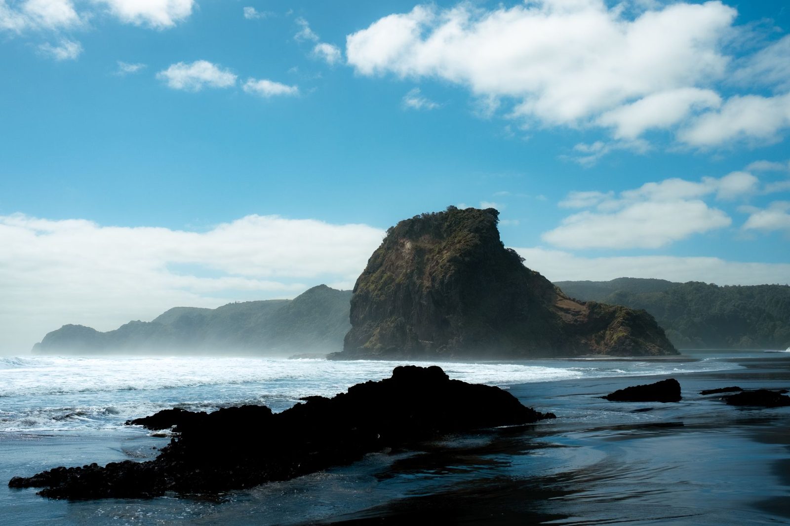
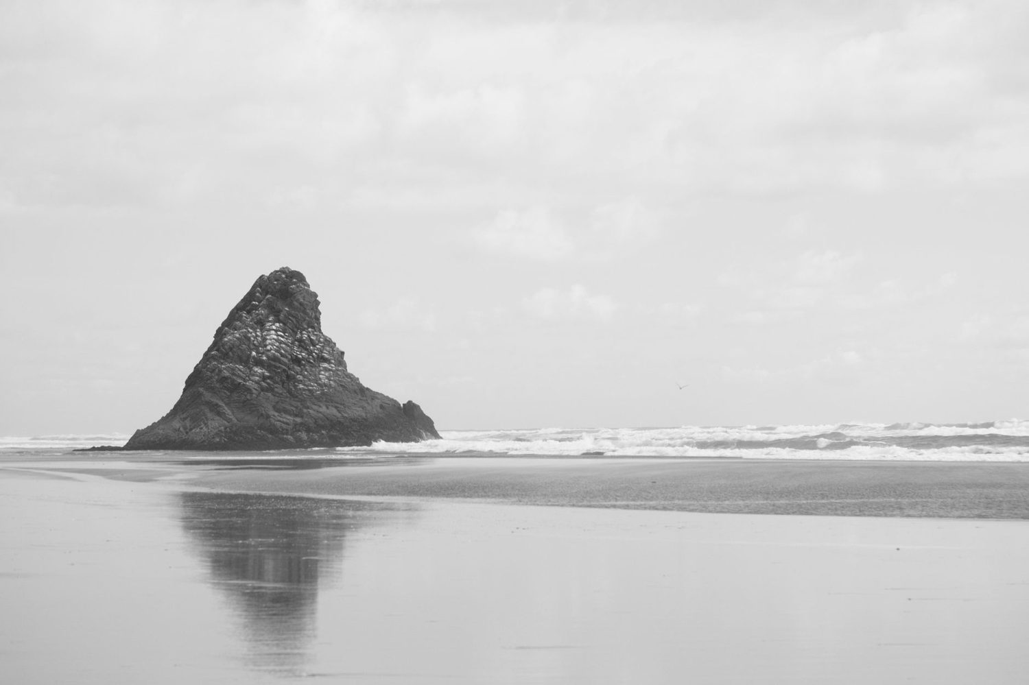
Auckland Hikes & Walking Trails: 11 Best Tracks (2026)
Complete 2026 Auckland hikes guide - 11 best walking trails, from short volcanic summit walks to Rangitoto and the west coast, by difficulty and region.
This article contains advertising. Our booking links are routed through a partner that adds commission tracking automatically, so if you book through one we earn a commission from the provider, at no extra cost to you. It never affects what we recommend. Affiliate disclosure
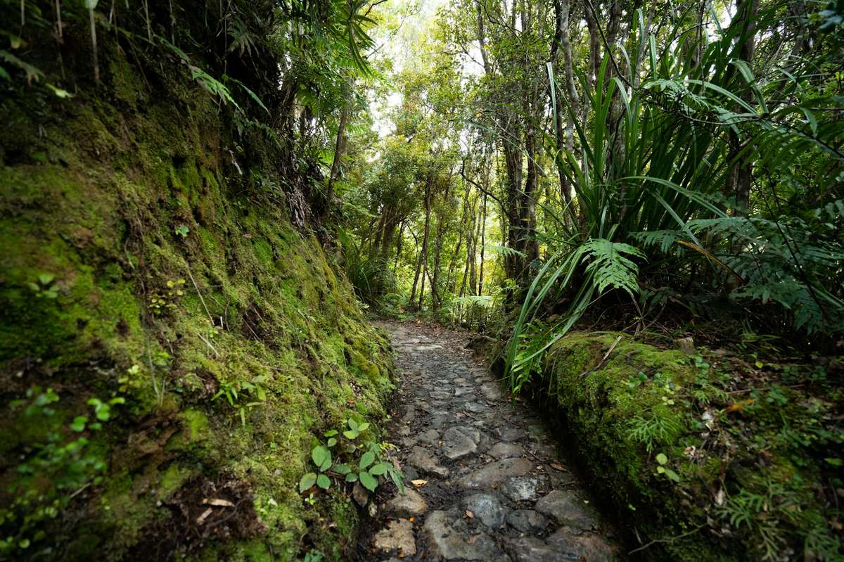
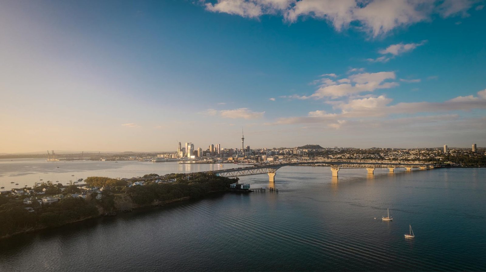
Auckland hikes range from 30-minute volcanic summit walks within the city to multi-day Hauraki Gulf island wilderness routes. With the 17,000-hectare Waitākere Ranges Regional Park to the west, the 16-kilometre Coast to Coast Walkway across the city, the dramatic west coast Hillary Trail, and unique island walks on Rangitoto and Tiritiri Matangi, Auckland delivers some of NZ’s most diverse hiking — much of it accessible by public transport. This complete 2026 guide covers the absolute best Auckland hikes by difficulty, location, and length.
Read the closures section before you plan anything. A large share of the Waitakere Ranges track network is shut to protect kauri from dieback, the open and closed set changes without much notice, and the famous multi-day route through the ranges is not currently promoted as a through-walk. Auckland Council publishes a map of open and closed tracks: check it before you set out, and follow the signs and closures on site.
| Detail | What to know |
|---|---|
| Best short walk | Maungawhau / Mt Eden summit, roughly 20 to 30 minutes up on formed paths |
| Best half day | Kitekite Falls at Piha, about 30 minutes each way |
| Best full day | Rangitoto summit: 7km and about two hours return, plus a lava-cave side trip and the ferry |
| Ferry costs | Rangitoto adult return NZ$60; Tiritiri Matangi adult return NZ$110 |
| Track closures | A large share of the Waitakere Ranges track network is closed for kauri protection or upgrades; check Auckland Council’s track map |
| Hillary Trail | The original route can’t be completed while its Te Henga coastal link is closed |
| Where to check | Auckland Council’s kauri dieback track map; DOC for island and scenic reserve tracks |
| Best season | March to May |
| Kauri hygiene | Scrub and spray boots at every station and never step off a boardwalk |
Why Auckland Is a Surprising Hiking Destination
Despite being a region of more than 1.8 million people (June 2025 estimate), Auckland delivers world-class hiking thanks to:
- The Waitākere Ranges Regional Park — roughly 17,000 hectares of native bush west of the city
- The Hunua Ranges Regional Park — about 17,800 hectares, an hour’s drive from the city centre
- A large regional park network — from the Waitakere Ranges in the west to Wenderholm and Tawharanui in the north and the Hunua Ranges in the south
- Volcanic cones for shorter urban walks
- Hauraki Gulf islands for wilderness day hikes
- Coastal walkways on both harbours
The 11 Best Auckland Hikes 2026
1. Mt Eden Summit Walk (Easy, 20–30 mins up)
Auckland’s most accessible hike. Formed routes climb to the 196m volcanic summit, and a boardwalk runs along the crater rim. The view from the top is a full 360 degrees over the city, and it’s free.
Two things to know. The summit road is closed to general private traffic, so most people walk up (visitors with limited mobility can get an access code to drive to the tihi), and the crater — Te Kapua kai a Mataoho — is tapu, so keep out of it. Maungawhau is one of the ancestral maunga co-governed by the Tupuna Maunga Authority on behalf of the 13 iwi and hapu of Nga Mana Whenua o Tamaki Makaurau, and the signs asking you to stay on the paths are not decorative. Our Mt Eden summit walk guide has the access detail.
2. Rangitoto Summit Track (Moderate, 2 hours return)
A walk to the 260m summit of Auckland’s youngest volcano, across lava fields and through pohutukawa forest. DOC puts the summit track at 7km and about two hours return from Rangitoto Wharf. The lava caves are a separate side trip: the Lava Caves Track leaves from a junction 15 minutes below the summit and runs 500 metres, about 15 minutes each way, so allow extra time and bring a torch.
An adult return on the Fullers360 ferry is NZ$60 (the fare from 12 October 2026); check the Fullers360 booking page for child and family fares, and book ahead, because tickets are for a set sailing. Allow a full day. There are no shops, cafes or drinking water on the island, the lava rock chews soft shoes, and there is little shade on the upper track. A causeway links Rangitoto to Motutapu if you want to add two to four hours. See our Rangitoto day trip guide for timetables.
3. Kitekite Falls Walk, Piha (Easy, 1 hour return)
An easy, gradual climb through native bush to the 40-metre Kitekite Falls and a swimming hole, about 30 minutes each way. It was open in mid-2026, which matters because several neighbours in the same valley are not — Piha Valley Track is closed for kauri dieback and Tasman Lookout Track has been closed since the 2023 storms.
Allow an hour return, more with children who want to swim. Piha is about an hour’s drive from the city centre, and the last stretch of Piha Road is steep and slow, so give yourself extra time on a summer Sunday. Our Piha and Waitakere day trip guide covers the rest of the valley.
4. Coast to Coast Walkway (Moderate, 16km)
Auckland’s signature urban hike, right across the isthmus from the Waitemata to the Manukau. Auckland Council splits it into three signposted sections you can do separately or link into one day: city centre to the Auckland Domain, about 50 minutes; Grafton to Maungakiekie, about 90 minutes; and Cornwall Park to the Manukau, about another 90.
It crosses several volcanic cones, a good deal of Maori and colonial heritage, and the best of Cornwall Park, entirely on footpaths and park tracks, so no boots are needed. Walk it north to south and catch a bus or train back from Onehunga on an AT HOP card; a one-zone adult fare is NZ$3 in 2026.
5. Karekare Falls Walk (Easy, 5 mins)
A five-minute walk from the trailhead, with some stairs, to the 30m Karekare Falls through native bush. Combine with the iconic Karekare Beach.
6. Hillary Trail (currently not a through-walk)
Read this one carefully. The Hillary Trail, named after Sir Edmund Hillary, was designed as a multi-day route through the Waitakere Ranges from the Arataki Visitor Centre out to the west coast. Its original route can’t be completed at present, because the coastal link along the Te Henga Walkway is closed after cliff collapses and landslides, so it cannot be walked end to end.
What you can still do is walk the open pieces as day trips, and the coastal sections around Karekare, Piha and Whatipu are the best of them. Accommodation along the route is Auckland Council campgrounds rather than DOC huts, and camping needs a pass booked in advance.
7. Te Henga Walkway (Moderate, 65 mins each way)
A clifftop coastal walk from Constable Road at Muriwai out to Tirikohua Point, with big Tasman Sea views and exposed farmland. Allow about 65 minutes each way and come back along the same track: the section south of Tirikohua Point to Bethells Beach is closed after cliff collapses and landslides, so the old through-walk is no longer possible.
Parts of the route cross private farmland and it has closed seasonally in the past, so check the status before you drive out. There is no shade and no water. The Muriwai gannet colony is a separate visit; the gannets are there from roughly August to February, and our Muriwai Beach guide covers the colony lookouts and the beach at that end.
8. Tiritiri Matangi Tracks (Easy-Moderate, 15 mins to 2 hours)
Walking tracks across a pest-free open sanctuary, including the Wattle Track, Wattle Valley and the coastal route. The birdlife is the point: takahe, kokako, tieke and hihi in numbers you will not see on the mainland.
The ferry is NZ$110 adult return, NZ$55 for children aged 5–15 and NZ$275 for two adults and two children, and a guided walk with a Supporters of Tiritiri Matangi volunteer, booked with your ferry ticket, costs an extra NZ$15 per adult or NZ$5 per child. Tracks to the visitor centre take from 15 minutes to two hours, and guided walks run one to two and a half hours. The visitor-centre shop near the lighthouse usually opens 11am to 2pm Wednesday to Friday and 11am to 3pm at weekends. Sailings do not run daily, so check the timetable — see our Tiritiri Matangi day trip guide. Everything you carry on has to be checked for pests and rodents before boarding.
9. Hunua Falls Track (Easy, 15 mins)
A waterfall dropping into a deep pool in the Hūnua Ranges Regional Park, in South East Auckland. The walk down from the car park is short, easy and fine with young children.
Do not swim in the plunge pool. It has a long history of drownings caused by cold water, submerged rock and the current under the falls, and there is signage saying so. The 30-minute Upper Lookout Walk adds a view from above the falls, and the Cosseys and Wairoa loops make a good half-day; check the council’s track map for what is open before you go.
10. Long Bay Coastal Track (Easy)
North Shore coastal walk through Long Bay Regional Park. Beach, headlands, native bush. Family-friendly.
11. Mercer Bay Loop (about 1 hour)
Short clifftop loop near Karekare with the best Tasman Sea outlook in the region for the effort involved. It takes about an hour; check the council’s track alerts before you go. This is the walk I send people on when they have half a day, no boots and one chance at the west coast.
Auckland Hikes by Difficulty
Easy (1 hour or less, family-friendly)
- Mt Eden summit (20–30 mins up)
- One Tree Hill summit (time depends on your starting point and pace)
- Kitekite Falls (1 hour return)
- Karekare Falls (5 mins from the trailhead)
- Hunua Falls Track (15 mins)
- Mt Victoria Devonport (a short walk)
- Mercer Bay Loop (1 hour return)
Moderate (1–4 hours)
- Rangitoto summit (2 hours return)
- Te Henga Walkway to Tirikohua Point and back (65 mins each way)
- Tiritiri Matangi tracks (15 mins to 2 hours)
- Lake Wainamu from Bethells (check which tracks are open first)
- Comans Track, Karekare
- Coast to Coast Walkway (16km)
Hard (Full-day or multi-day)
- Coast to Coast in a single day (the full 16km traverse, a long day with stops)
- Rangitoto summit plus a Motutapu crossing (a long day, ferry dependent)
- Multi-day tramping on Aotea Great Barrier Island, which is Department of Conservation country with its own huts and its own rules
Auckland Hikes by Region
Central Auckland (urban volcanic walks)
- Mt Eden / Maungawhau
- One Tree Hill / Maungakiekie
- Mt Albert / Ōwairaka
- Mt Wellington / Maungarei
- Mt Hobson / Ohinerau
- Auckland Domain
West Auckland (Waitākere Ranges)
- Kitekite Falls Piha
- Karekare Falls
- Te Henga Walkway
- Hillary Trail
- Mercer Bay Loop
North Shore
- Mt Victoria Devonport
- North Head Devonport
- Long Bay Coastal Track
- Lake Pupuke Loop
- Browns Bay to Mairangi Bay coastal
South Auckland (Hunua Ranges)
- Hunua Falls
- Cossey-Massey Reservoir
- The Massey Falls
- Wairoa Reservoir Walk
Hauraki Gulf islands
- Rangitoto Island summit
- Tiritiri Matangi tracks
- Motutapu Island traverse
- Waiheke Island walks
- Great Barrier Island multi-day
Kauri Dieback & Track Closures
Important: many Waitākere Ranges tracks have been closed in recent years to prevent the spread of kauri dieback disease (Phytophthora agathidicida). The disease is fatal to NZ’s iconic kauri trees. Always:
- Check Auckland Council’s Tracks & Walks page for current closures
- Use kauri hygiene boot-cleaning stations at trailheads
- Stay on marked tracks (don’t cut corners)
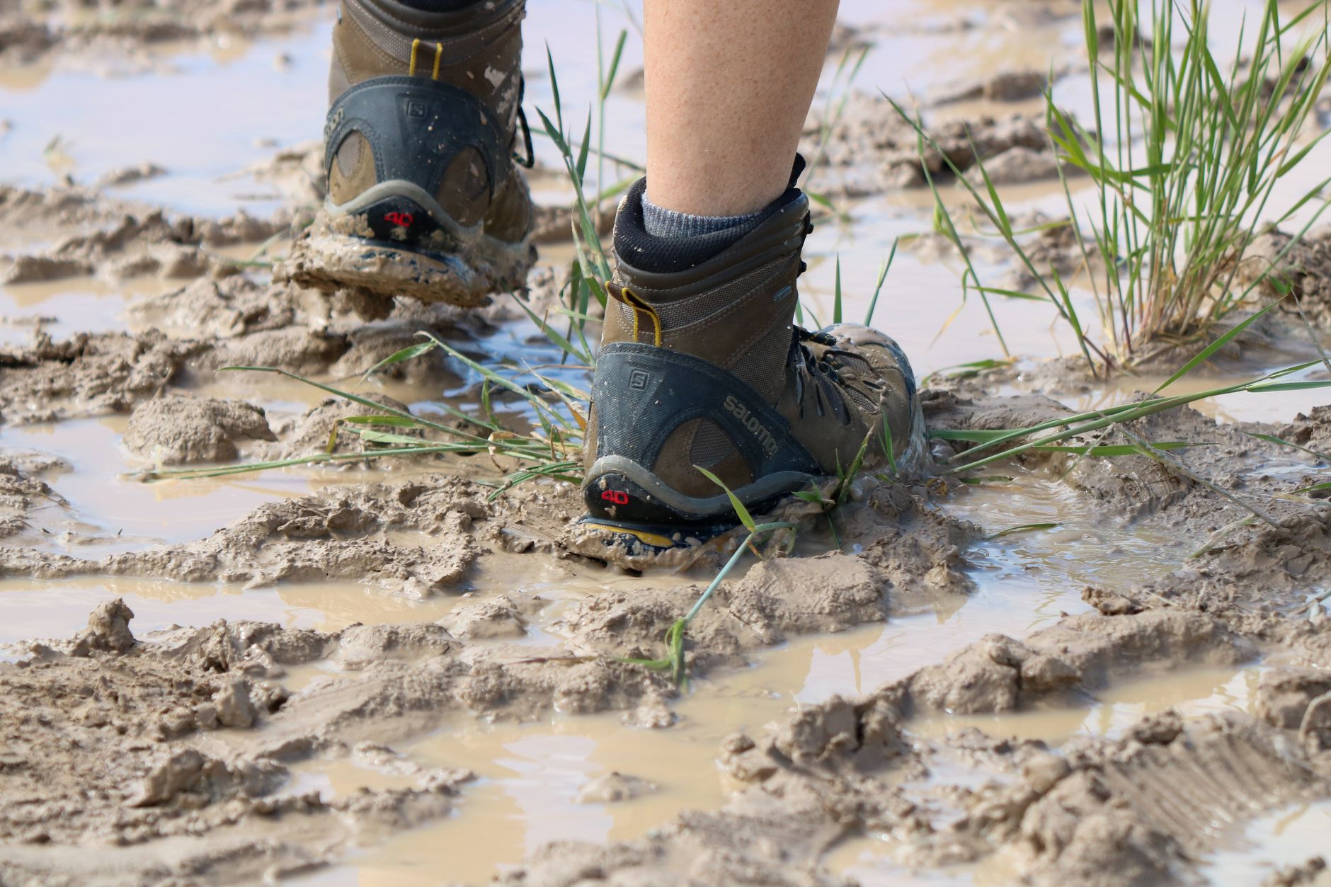
- Don’t walk in kauri forest with muddy or unwashed boots
A large share of the Waitakere Ranges track network is closed, some sections for dieback and some for upgrades, and the mix changes as sections reopen, so check Auckland Council’s track map before you go. Our Waitakere Ranges walks guide goes deeper on that park.
Open at the time of writing: Kitekite at Piha, the Mercer Bay Loop, Comans Track, the Arataki Nature Trail, Omanawanui and the Takapu Refuge walk at Muriwai. Closed or partly closed: Piha Valley, Tasman Lookout, parts of Fairy Falls, Kauri Grove, Winstone Track and stretches of the Lake Wainamu route. Check the map rather than this list.
One correction worth making, because it is repeated everywhere: kauri dieback is not a fungus. Phytophthora agathidicida is a fungus-like water mould that lives in soil and spreads in soil, which is exactly why a teaspoon of mud in your boot tread is the problem and why the stations use a brush as well as a spray. Scrub first, spray second, in and out.
There is no known cure for kauri dieback. The ritual at the trailhead is non-negotiable, and so is staying on the boardwalk.
What to Bring on Auckland Hikes
- Water — at least a litre a person for anything over an hour, and two litres for exposed coastal or lava-field walks in summer
- Snacks/lunch — for anything over 1 hour
- Sun protection — NZ UV is intense year-round
- Sturdy walking shoes — boots for muddy tracks, sandals for short paved walks
- Light rain jacket — Auckland weather changes quickly
- Layered clothing — for variable weather
- First aid kit — for longer hikes
- Map and compass / phone GPS — back-up navigation
- Headlamp — for any hike where return after dark possible
- Insect repellent — sandflies in some bush areas
Two additions that Aucklanders take for granted and visitors do not. First, footwear with real tread: west coast tracks are clay, which is genuinely slippery on a gradient, while Rangitoto is sharp lava that destroys thin soles. Second, a downloaded map, because mobile coverage drops out through most of the Waitakere valleys.
Auckland Hiking Safety
- Tell someone your plans — for any longer hike
- Check weather forecast — particularly in winter
- Carry water and food — especially summer
- Stay on tracks — kauri protection and safety
- Mobile phone reception — patchy in Waitākere Ranges
- Know rip currents at coastal walks — swim between the red and yellow flags at patrolled beaches
- Heavy rain — many tracks become slippery, streams rise
The specific Auckland risk is the west coast, not the bush. Piha, Karekare, Bethells and Muriwai are among the most dangerous swimming beaches in the country, and several of these walks end at one of them — our Piha Beach guide goes into what the surf down there is actually like. Swim only between the flags while Surf Life Saving patrols are operating, broadly Labour Weekend to Easter, and treat an unpatrolled west coast beach as somewhere to look at rather than swim. The sea cliffs are undercut in places; stay behind the fences.
Best Time of Year for Auckland Hiking
- Spring (Sep–Nov) — perfect — settled weather, native bush flowering
- Summer (Dec–Feb) — long daylight hours, hot for exposed walks, high UV
- Autumn (Mar–May) — best balance — cooler days, lower humidity, active wildlife
- Winter (Jun–Aug) — fewer crowds, dramatic light, occasional muddy tracks, shorter days
Most Aucklanders rate autumn, March through May, as the prime season: settled weather, lower humidity, fewer people, good light. Summer feels hotter than the numbers suggest because the UV is severe and several of these walks have no shade. Winter turns the clay tracks in the ranges into a slip hazard.
Auckland Hiking With Kids
- Best kid-friendly hikes: Mt Eden, One Tree Hill, Kitekite Falls, Hunua Falls, Long Bay Coastal Track
- Avoid for young kids: Te Henga Walkway, Hillary Trail, Rangitoto summit (long for under-7s)
- Prams: Mt Eden, Cornwall Park paths, Auckland Domain, Lake Pupuke loop, Wynyard Quarter
- Take snacks, water, and a first-aid kit
- Build in rest stops — turn the hike into adventure not endurance
One practical note for families: the pram-friendly list is shorter than it looks. Maungawhau, the Cornwall Park paths, the Auckland Domain and the Lake Pupuke loop all work with a sturdy pram. Kitekite Falls does not, and neither does anything on Rangitoto.
Auckland Hiking Groups
- Auckland Tramping Club — long-running NZ tramping club
- Meetup.com Auckland hiking groups — multiple casual groups
- Forest & Bird Auckland — conservation-focused walks
- Auckland Council Tracks & Walks programme — guided ranger walks
- DOC Volunteer Tracks programme — work-and-walk events
Auckland Hiking Apps & Resources
- AllTrails — best general hiking app, lots of Auckland tracks
- Auckland Council Tracks & Walks website — official source
- Department of Conservation (DOC) website — Hauraki Gulf island walks
- Wandr NZ — hiking app
- NZ Topo Maps — for offline navigation
Hauraki Gulf Island Hikes
- Rangitoto summit — 2 hours return, 260m volcanic cone, lava caves as a side trip
- Tiritiri Matangi tracks — 15 minutes to 2 hours, native bird sanctuary
- Motutapu traverse — connected to Rangitoto, full-day option
- Waiheke Island walks — multiple coastal and clifftop walks
- Great Barrier Island — multi-day options for serious hikers
The island walks are the ones with a real cost attached, and the ferry is most of it: Rangitoto NZ$60 adult return, Tiritiri Matangi NZ$110. Both are pest-free, so bags are checked before boarding and dogs are not allowed, and neither has a shop. If you have time for one, take Rangitoto for the geology and Tiritiri Matangi for the birds.
Multi-Day Hikes in the Auckland Region
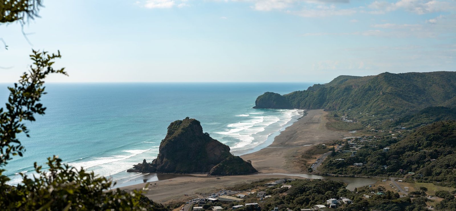
- Aotea Great Barrier Island — Department of Conservation tramping tracks and backcountry huts, reached by ferry or a short flight; the most remote option in the region
- Coast to Coast plus regional parks — the isthmus traverse plus a day in Cornwall Park and the Domain, as a relaxed two-day city walk
- The Waitakere west coast in sections — day walks out of Piha, Karekare and Whatipu using whatever is open
- Hillary Trail — the original route can’t be completed while its Te Henga coastal link is closed; ask the rangers before planning around it
Where to Stay for Hiking
- CBD hotels — base for urban hikes and ferry-island hikes
- West Auckland B&Bs/Airbnbs — closer to Waitākere Ranges trailheads
- Piha holiday cottages — direct access to west coast hikes
- Auckland Council regional park campgrounds — for anything multi-day in the Waitakeres; you need a camping pass booked in advance, and these are council sites rather than DOC huts
Frequently Asked Questions
What’s the best hike near Auckland?
For most visitors — Kitekite Falls Walk at Piha (1 hour), Mt Eden summit (20–30 mins up), or Rangitoto summit (2 hours return). Serious hikers can walk sections of the Hillary Trail, though its original route can’t be completed end to end while the Te Henga coastal link is closed.
Can you hike in Auckland in one day?
Yes — most Auckland hikes are day trips. Even the 16km Coast to Coast Walkway can be done in a day.
Is Auckland’s hiking safe?
Generally very safe with sensible precautions. Stay on tracks, check weather, tell someone your plans, carry water and a phone.
What’s the kauri dieback issue?
A fungal disease threatening NZ kauri trees. Many Waitākere Ranges tracks have been closed for protection. Use boot-cleaning stations and stay on tracks.
Can I bring a dog hiking in Auckland?
Most Auckland Council parks allow leashed dogs; Waitākere Ranges Regional Park is mostly off-limits to dogs (kauri protection). Always check the specific track rules.
What’s the easiest Auckland hike?
Mt Eden summit walk — formed paths to the 196m summit, roughly 20 to 30 minutes up, with a boardwalk around the crater rim.
What’s the longest Auckland hike?
The Hillary Trail through the Waitakere Ranges was designed as a multi-day route, but its original line is now broken where the Te Henga coastal link is closed. For a long walk you can do in one go, the Coast to Coast Walkway crosses the city between the Waitematā and Manukau harbours.
Which Auckland tracks are open right now?
A large share of the tracks in the Waitakere Ranges regional parks is closed for kauri dieback protection or upgrades. In mid-2026 Kitekite, Mercer Bay Loop, Comans Track and the Arataki Nature Trail were open; Piha Valley, Tasman Lookout and parts of Fairy Falls were not. Auckland Council’s track map is the live source, so check it on the day.
Do I need a car to go hiking in Auckland?
Not for the volcanic cones, the Coast to Coast Walkway, the Domain, Devonport’s Maungauika, or the island walks, all reachable by bus, train or ferry. You do need a car, a tour or a rideshare for the Waitakere Ranges, the west coast beaches and the Hunuas. There is no public transport to Piha, Karekare, Bethells or Whatipu.
How fit do I need to be?
Less than you would think. The volcanic summits are short climbs on formed paths, and Kitekite Falls is about 30 minutes each way on an easy, gradual track. Rangitoto is the first real test, about an hour of steady uphill walking on rough lava with little shade. The coastal walks at Te Henga and Whatipu need proper fitness and plenty of daylight in hand.
What should I do if a track is closed?
Take it seriously and go somewhere else. Closed sections are shut because the track surface carries kauri dieback into healthy stands, and walking around a barrier does real damage. Check the council’s map for open tracks nearby, or ask the staff at the Arataki Visitor Centre for walking-track advice.
Final Take: Auckland Hiking Is Underrated
Auckland’s hiking scene is one of the city’s underrated strengths, and it pairs naturally with the rest of the city’s beaches and outdoor adventures. From 30-minute volcanic summit walks accessible by bus to multi-day tramping on Aotea Great Barrier Island, from native bird sanctuaries on Tiritiri Matangi to dramatic west coast clifftop walks, the variety is exceptional for a major city.
Most visitors don’t expect serious hiking from Auckland — but the city delivers. Pack appropriate gear, check track closures, and you’ll find some of NZ’s most accessible and rewarding hikes within an hour of the CBD.
When you have walked Auckland’s volcanoes and coastlines, the most famous day hike in the North Island is about four hours south. Our Auckland to Taupō and Tongariro guide covers the Tongariro Alpine Crossing — shuttles, bookings, what to pack and why you need a spare day for the weather — along with the shorter walks around the park.